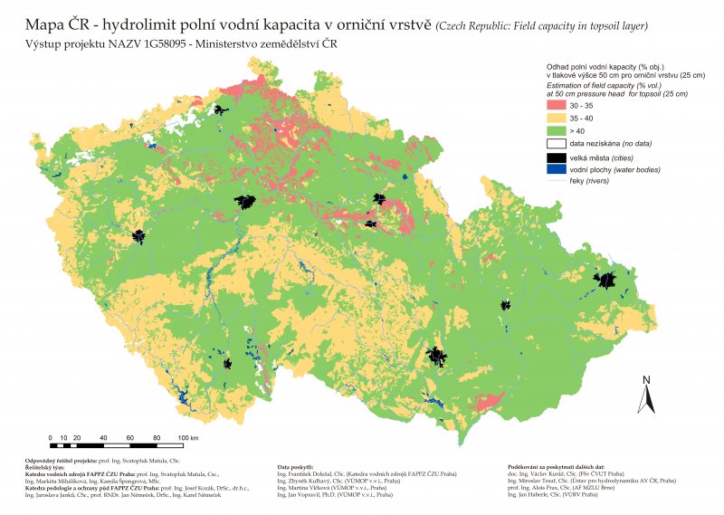
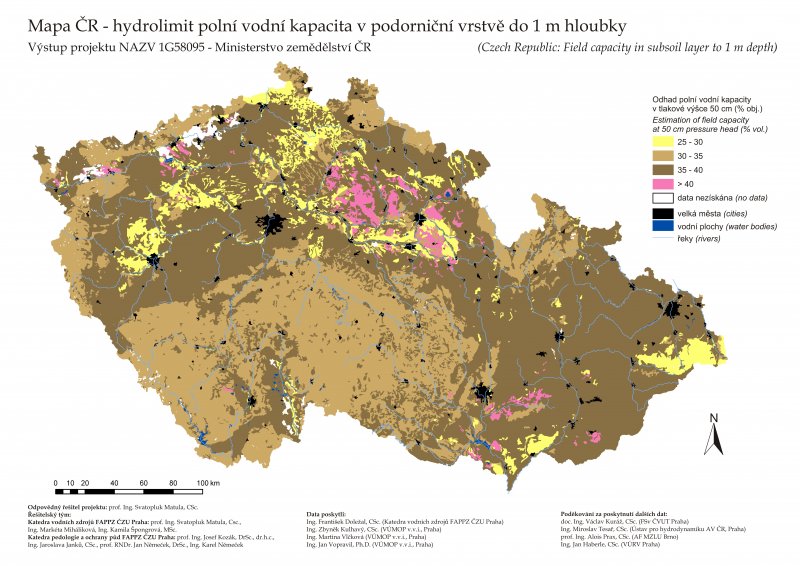
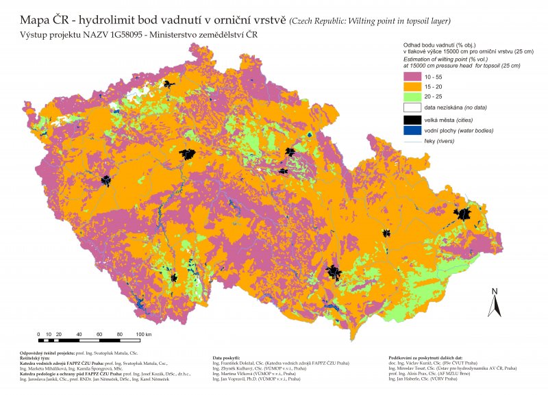
(i) Matula, S., Miháliková, M., Špongrová, K., Janků, J., Kozák, J., Němeček, J., Němeček, K. 2011. National maps of hydrolimits. Czech University of Life Sciences Prague. Set of specialized maps with expert content. Certified by Ministry of Agriculture of the Czech Republic on May 25, 2011.
(ii) Matula, S., Miháliková, M., Báťková, K., Doležal, F., Vopravil, J. 2012. Czech Republic: Total Available Water between -50 and -15000 cm. Czech University of Life Sciences Prague. Specialized map with expert content. Certified by Ministry of Agriculture of the Czech Republic on November 26, 2012.
The maps in higher resolution will be sent for the asking.
Detailed information on the following manuscript in Soil and Water Research: Application of k-Nearest code to the improvement of class pedotransfer functions and countrywide Field Capacity and Wilting Point maps